 View document
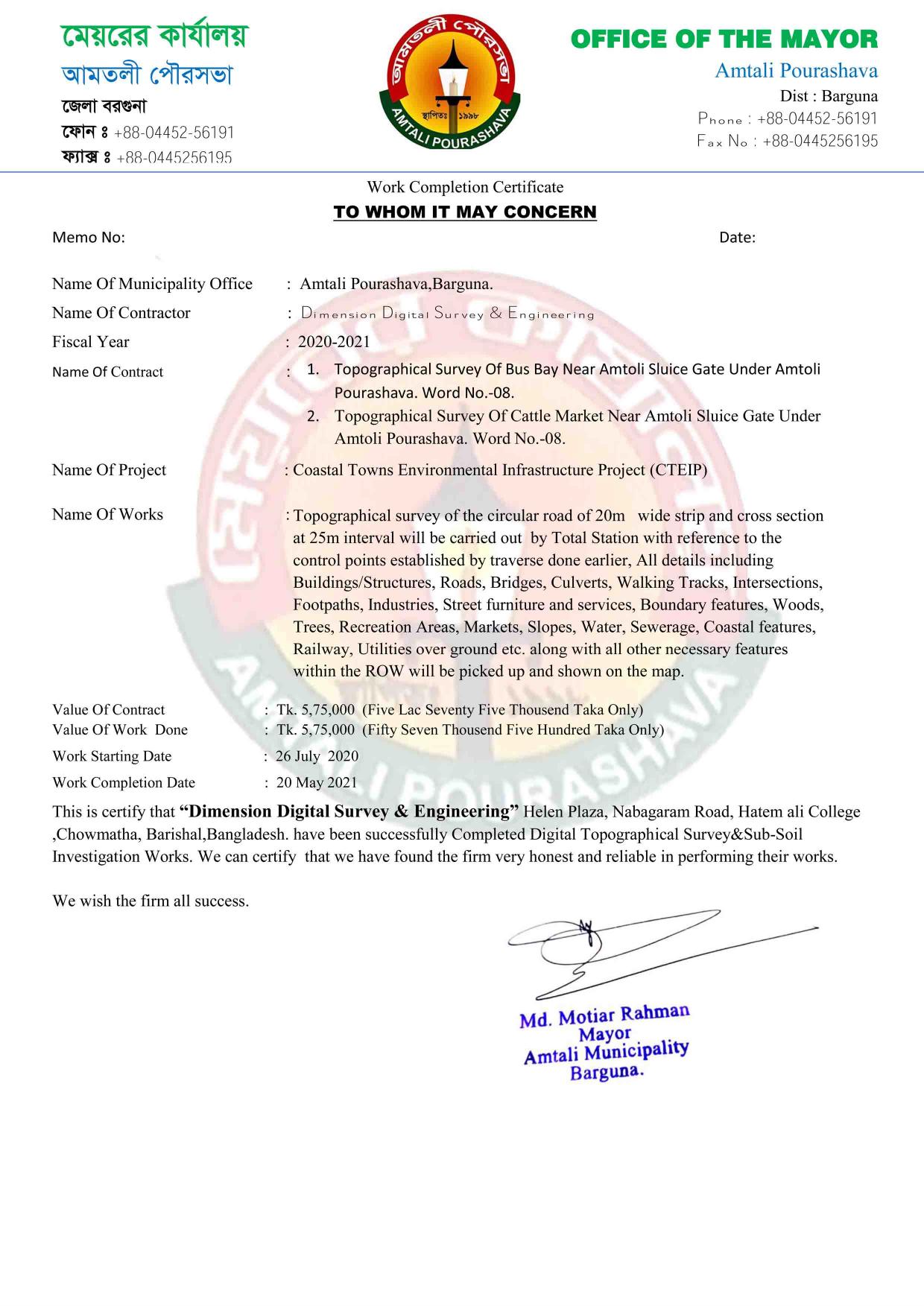
CTEIP
Digital land survey, soil investigation and civil engineering across Bangladesh since 2015.
নির্ভরযোগ্য জরিপেই নির্মাণের সঠিক শুরু।
Survey and soil investigation experience across public infrastructure, municipal and defense projects.
700+Projects delivered
11+Years since 2015
In-houseSoil testing laboratory
 RHDRoads & Highways Department
 LGEDLocal Government Engineering Department
 DPHEDepartment of Public Health Engineering
 BWDBBangladesh Water Development Board
 MESMilitary Engineer Services
 SOBSurvey of Bangladesh
Completion records from DDSE’s survey and soil investigation assignments.
View document
CTEIP
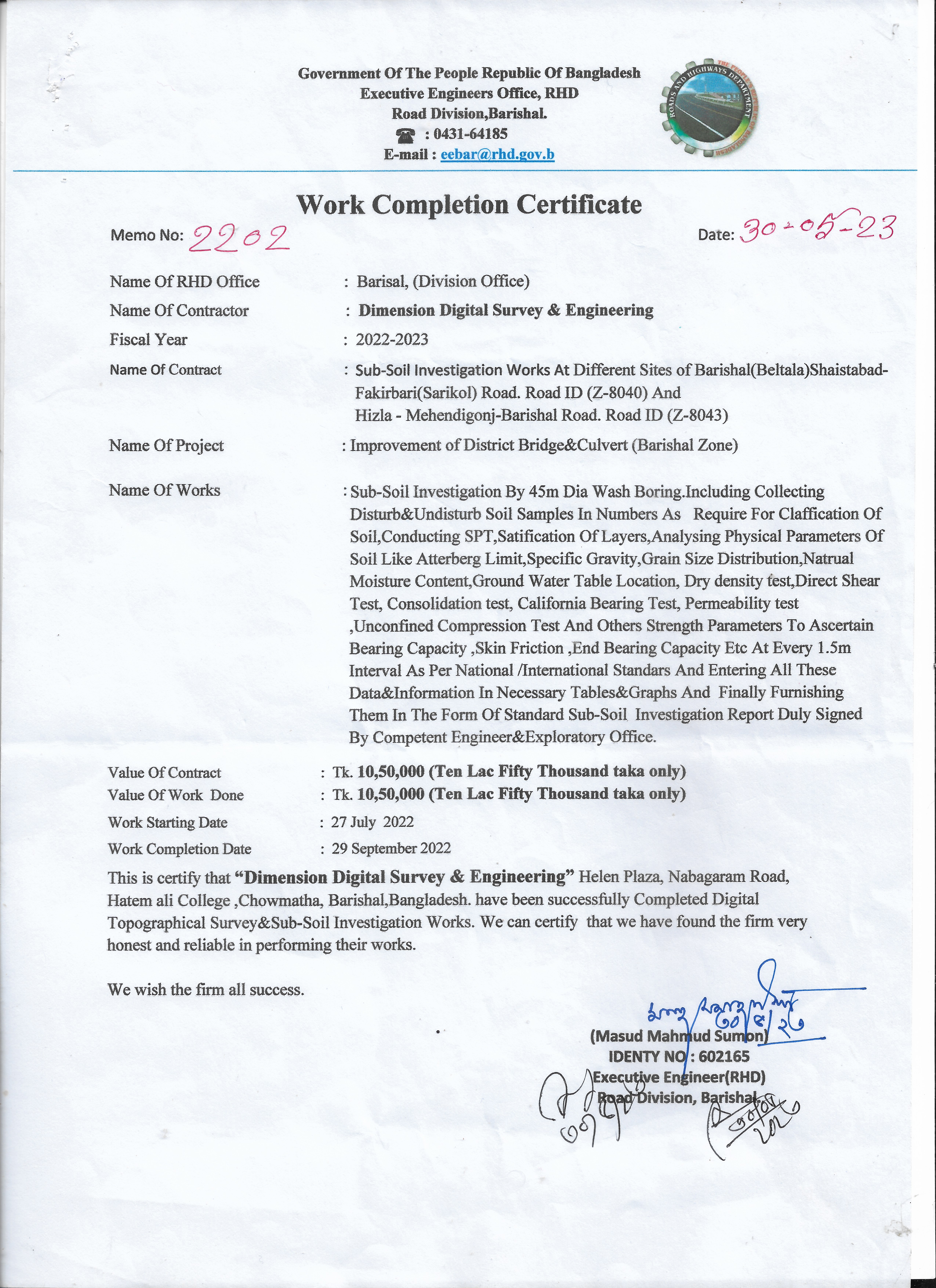 View document
Barishal Zone
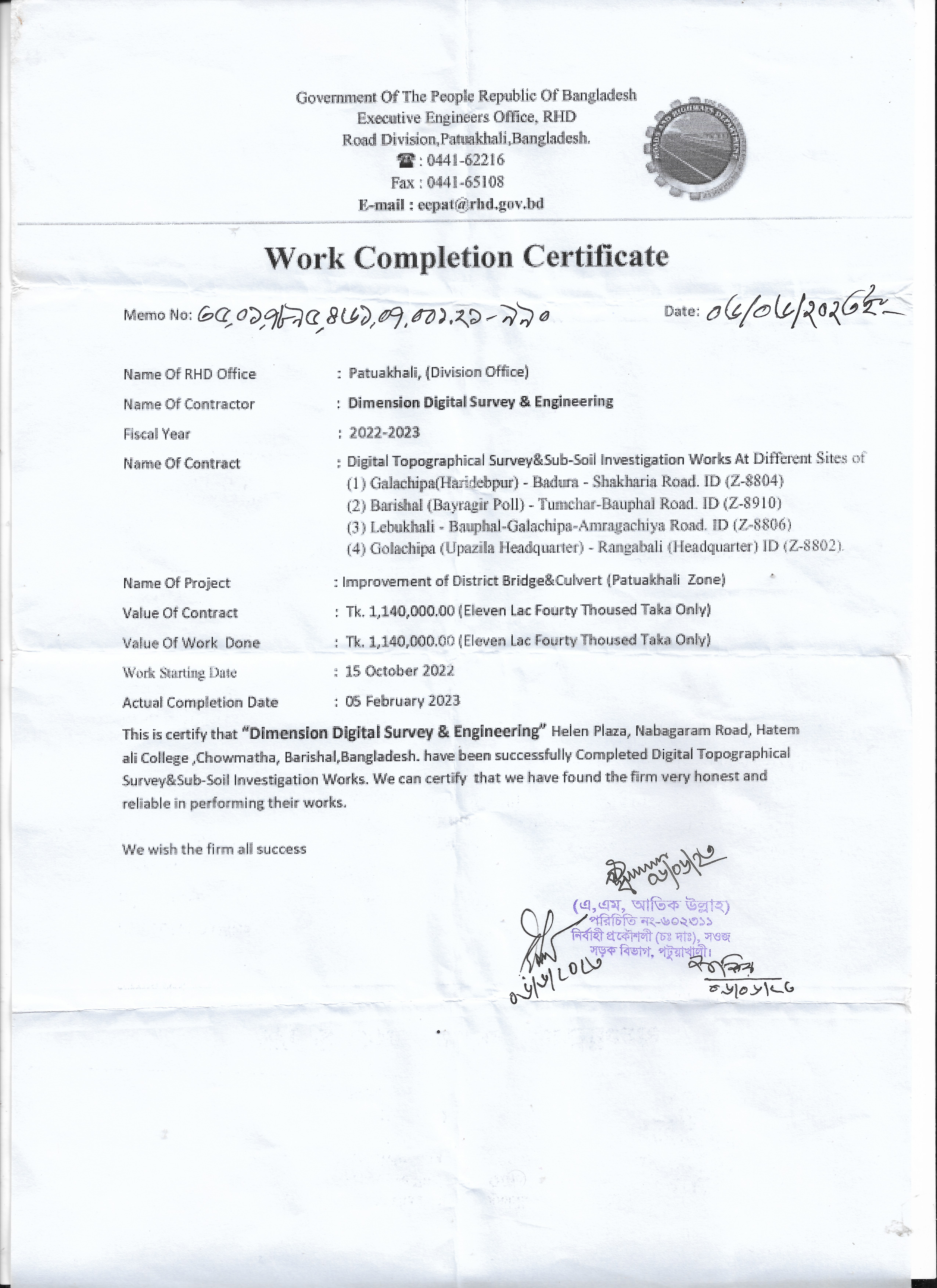 View document
Patuakhali Zone
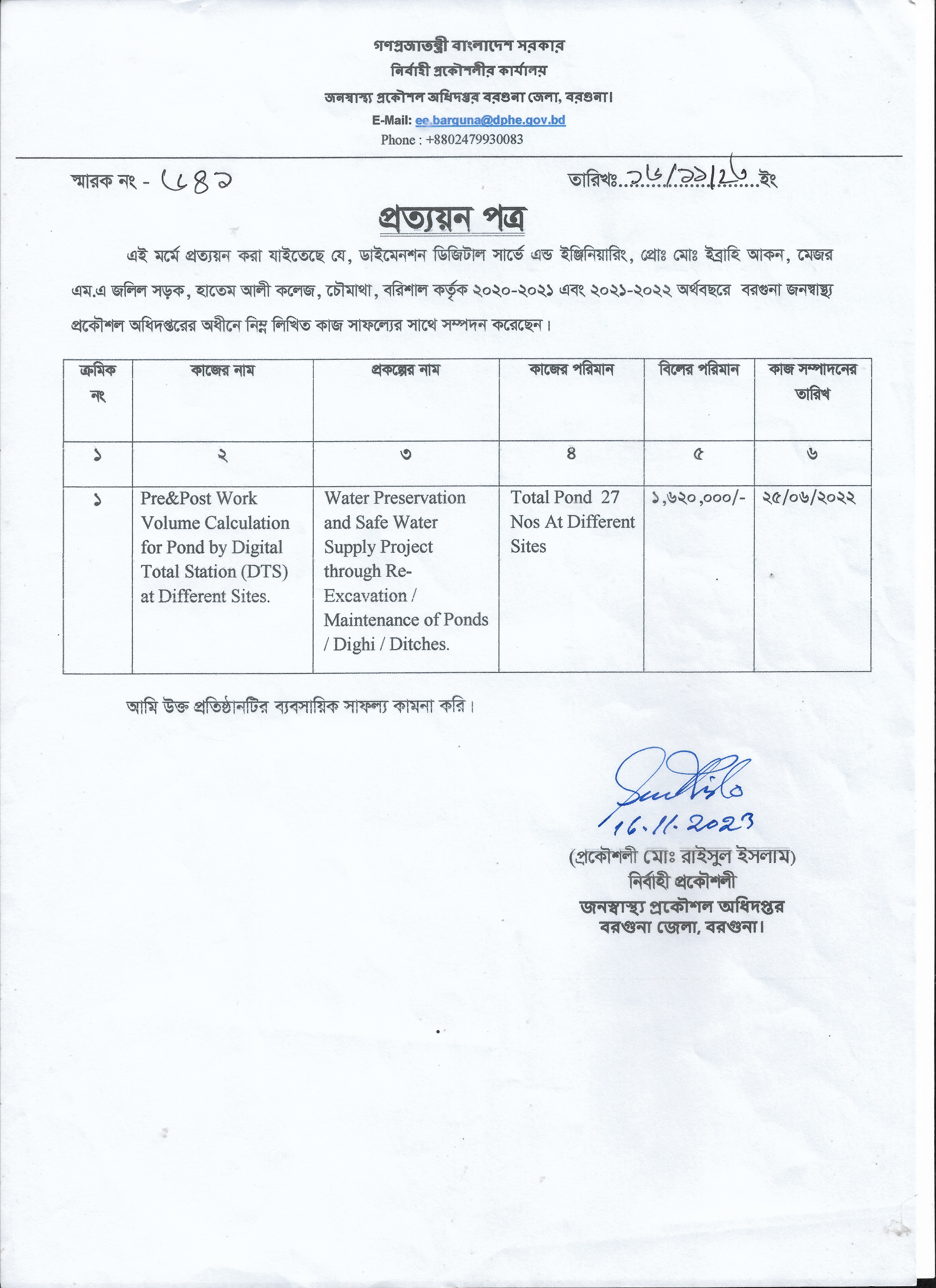 View document
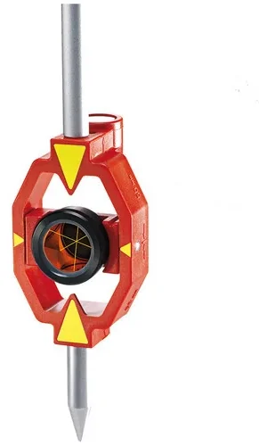
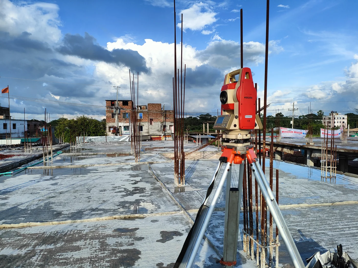
Digital Total Station
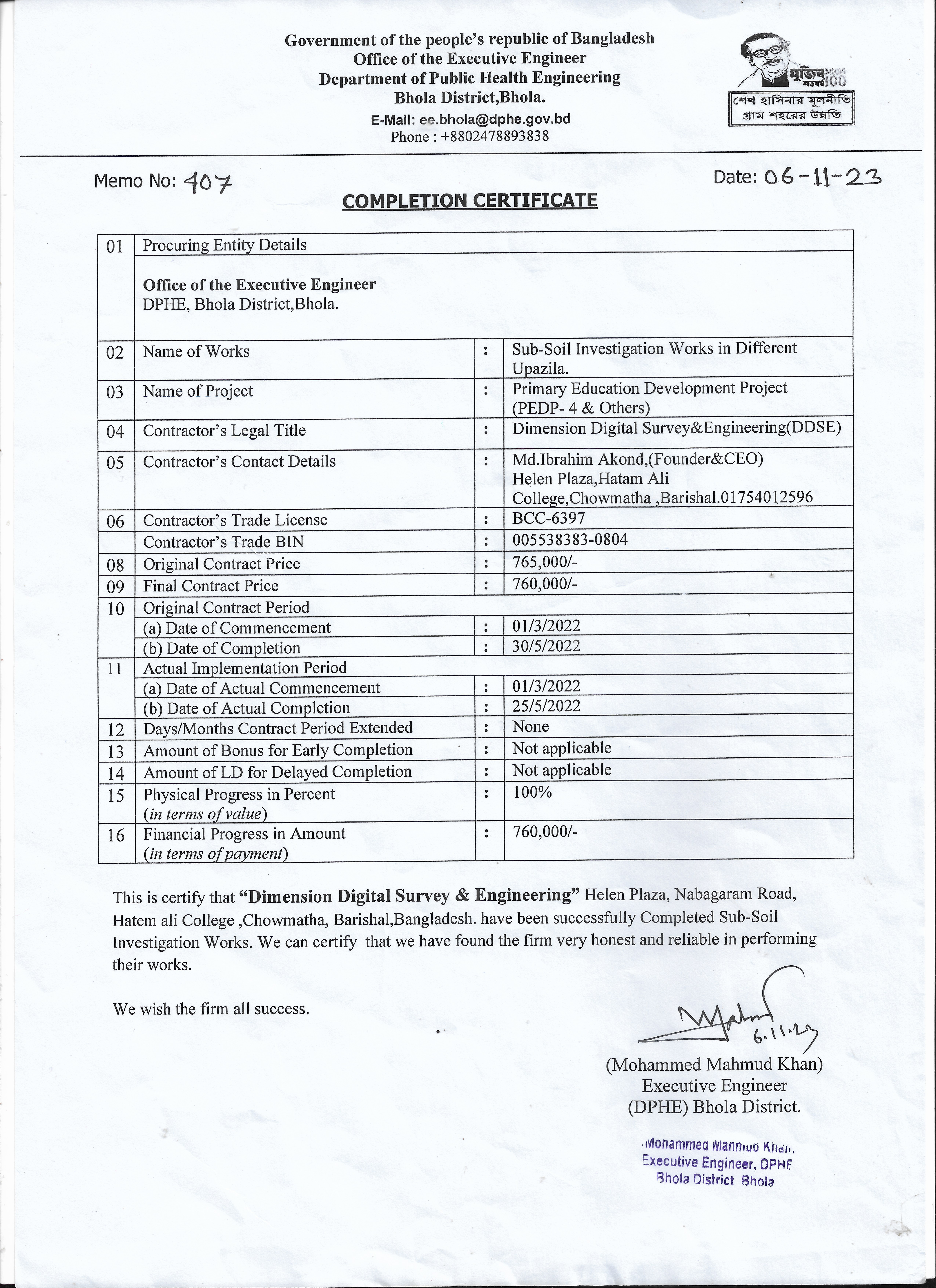 View document
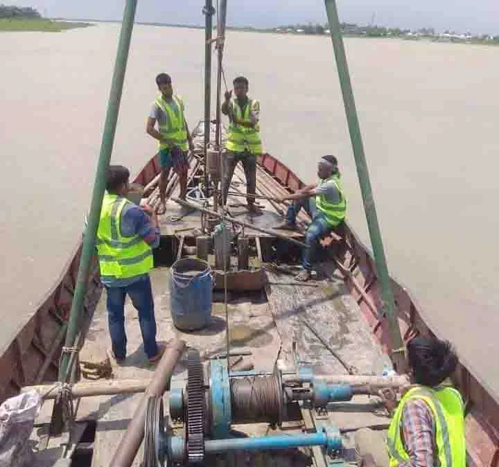
Geotechnical investigation
Hands-on training in Total Station operation, RTK GNSS workflows, and AutoCAD Civil 3D , the same equipment and methods DDSE runs on active government projects, taught by the team that uses them daily.
Register interest →Topographic surveys, soil investigations, and bathymetric charting for LGED, RHD, DPHE, BWDB, and Military Engineer Services since 2015 , see the full project history.
View our projects →From digital topographic survey to pile integrity testing , in-house equipment, in-house soil laboratory, one point of contact from field to final report.
Explore services →Professional survey and engineering solutions trusted by government and private sector clients across Bangladesh
Precision terrain mapping using advanced digital instruments for engineering, urban planning, and construction projects.
Learn More →Comprehensive geometric and structural survey for road design, bridge alignment, and infrastructure development.
Learn More →Accurate boundary demarcation and canal route surveys for irrigation, land management, and legal documentation.
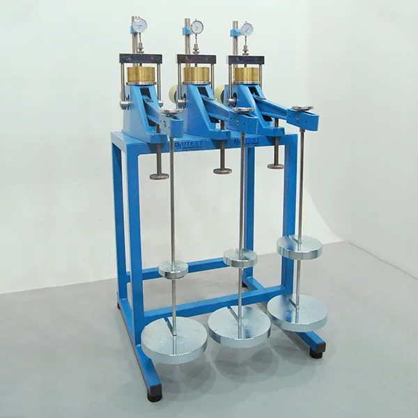
Learn More →Laboratory and field-based geotechnical soil testing to determine bearing capacity and composition for construction safety.
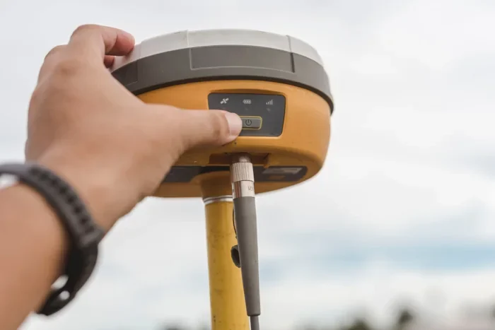
Learn More →Total stations, RTK GNSS, auto levels, drones and geotechnical apparatus, supported by DDSE’s field team.
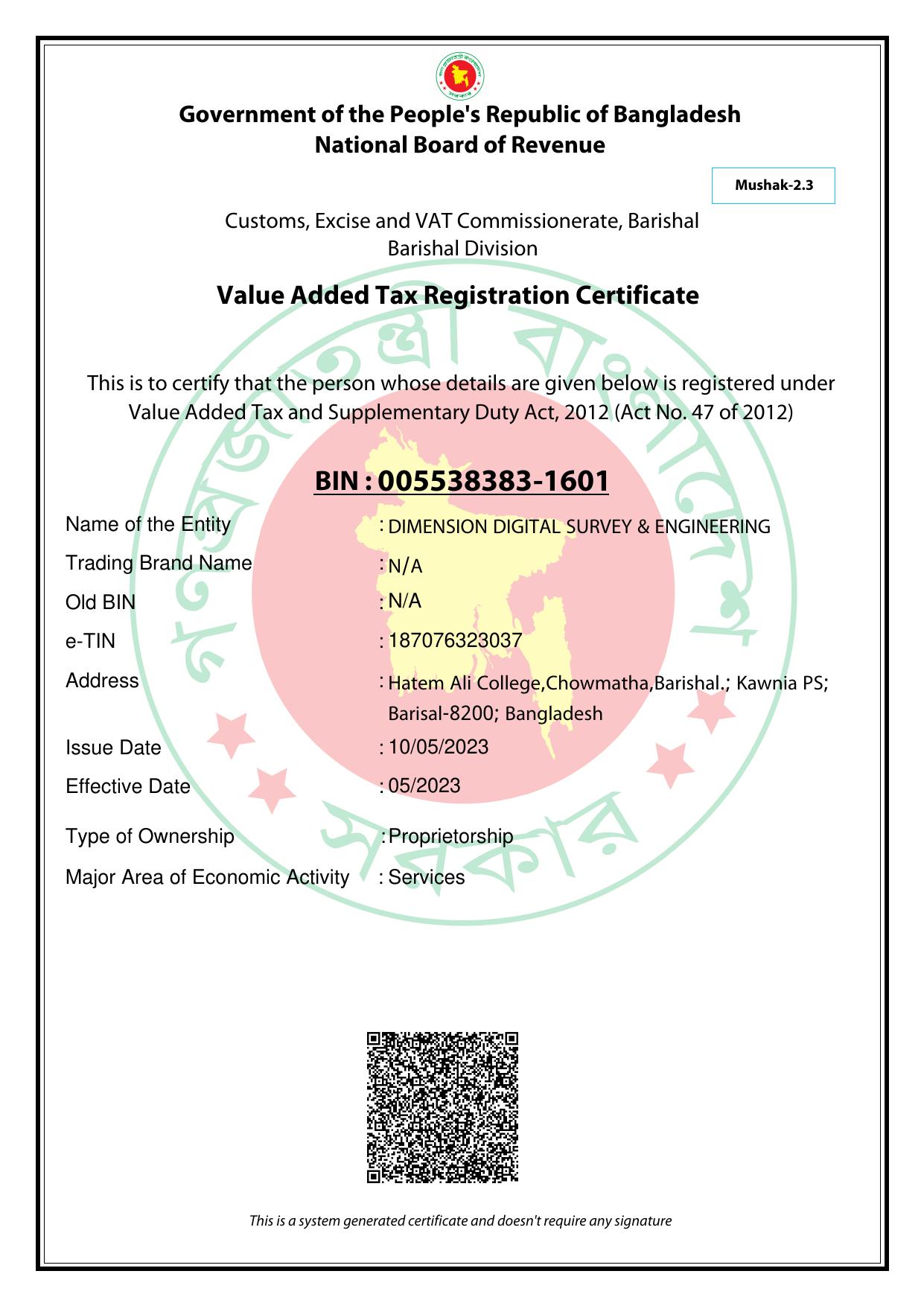
Inspect the supplied registration documents and check the issuing authority’s records.
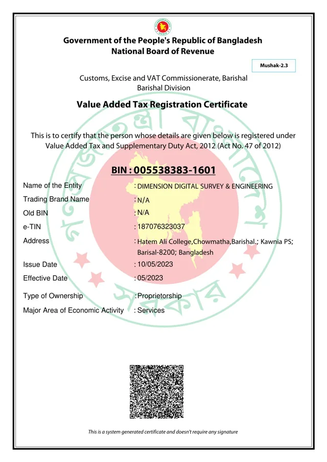
BIN 005538383-1601
The certificate’s QR contains registration details. Enter this BIN in the NBR portal’s 13-digit BIN lookup.
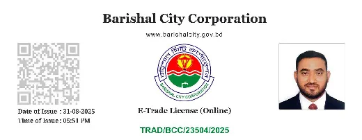
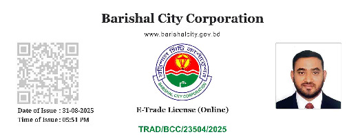
The QR on this document opens the official city corporation record.
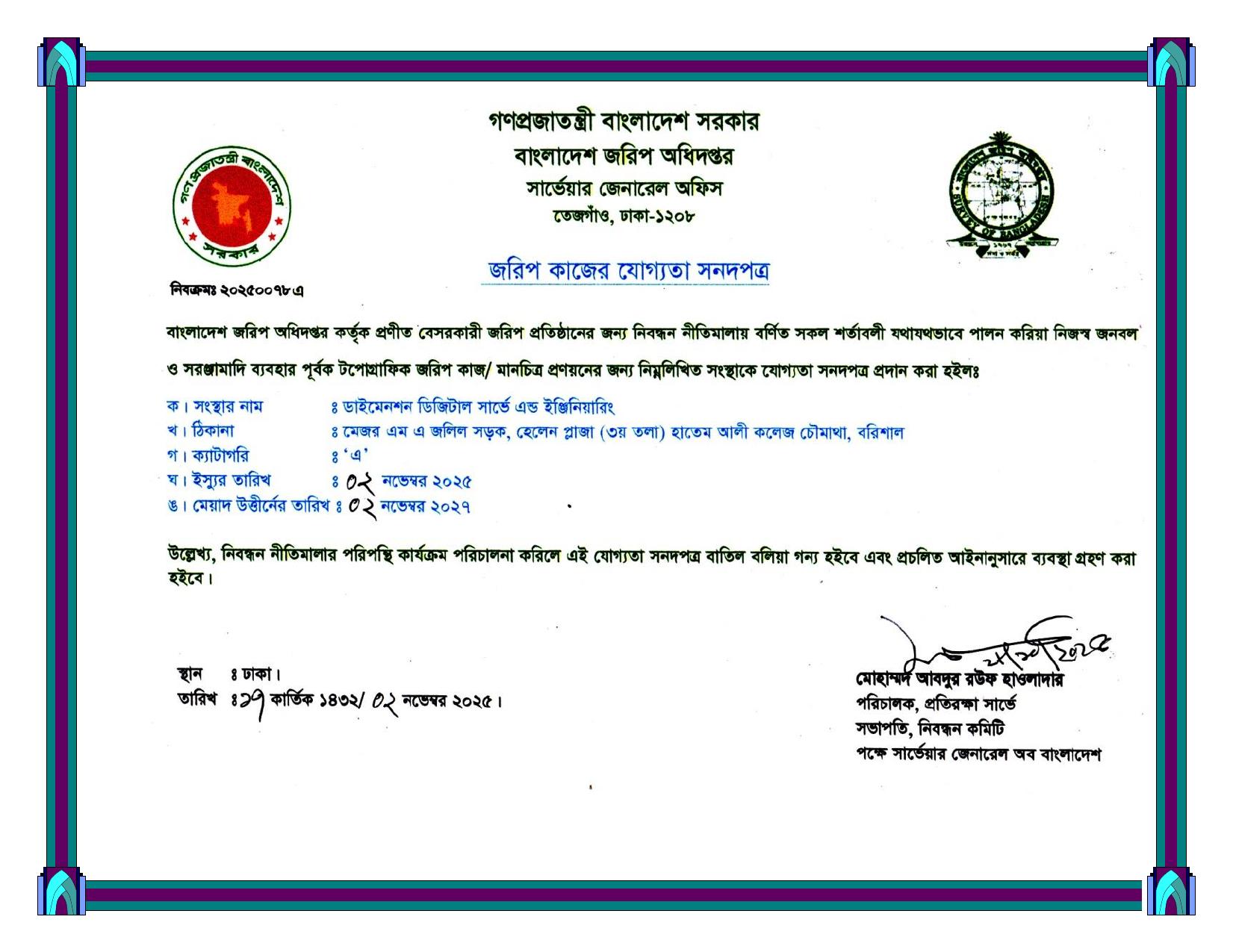
Survey of Bangladesh approvalLicence No. 6397View approval document
Taxpayer Identification NumberTIN 187076323037Proprietorship · Barishal, Bangladesh
Trust, precision, and professionalism in every project
Fully licensed by Survey of Bangladesh with BIN & TIN certification. Government-verified and trusted.
In-house soil testing laboratory with capabilities for specific gravity, gradation, shear test, consolidation, and more.
Serving clients across Bangladesh from Barisal and Dhaka to districts nationwide for government and private projects.
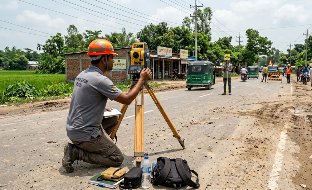
Site measurements, construction control and soil investigation, documented by our teams.
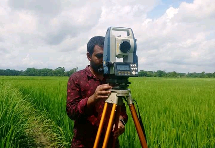 View photo
Topographic survey
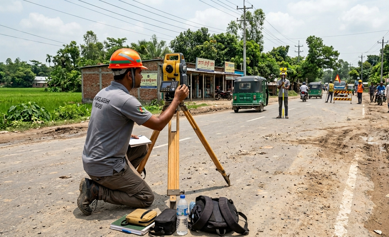 View photo
Road & bridge
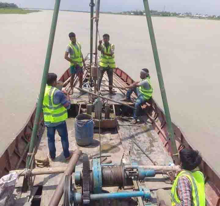 View photo
Soil investigation
Founded by Engr. Md. Ibrahim Akond, DDSE has served government departments, contractors and landowners since 2015.
Our Barishal and Dhaka offices coordinate survey teams, laboratory work and project reporting across Bangladesh.
জমির পরিমাপ থেকে মাটির পরীক্ষা, প্রতিটি সিদ্ধান্তে চাই নির্ভুল তথ্য ও পেশাগত দায়বদ্ধতা।
Meet our Managing Director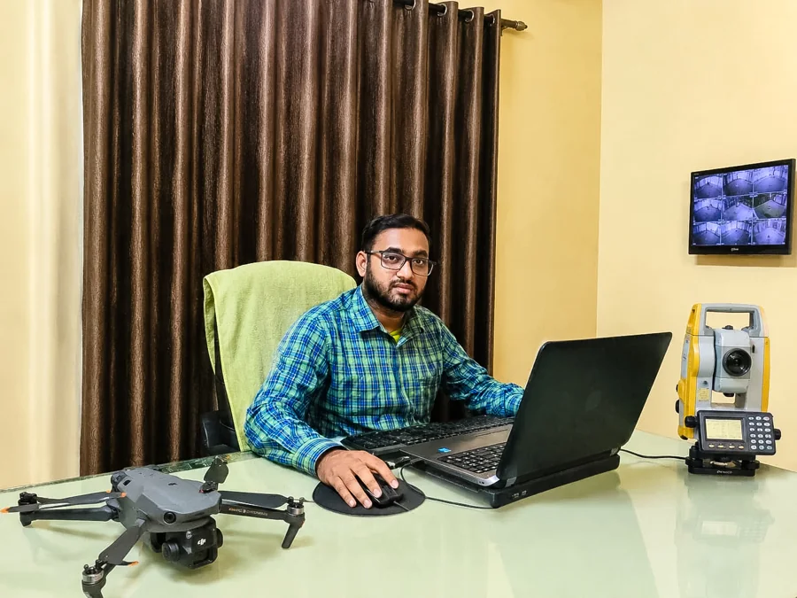
Use the Report ID supplied by our office and your registered phone number.