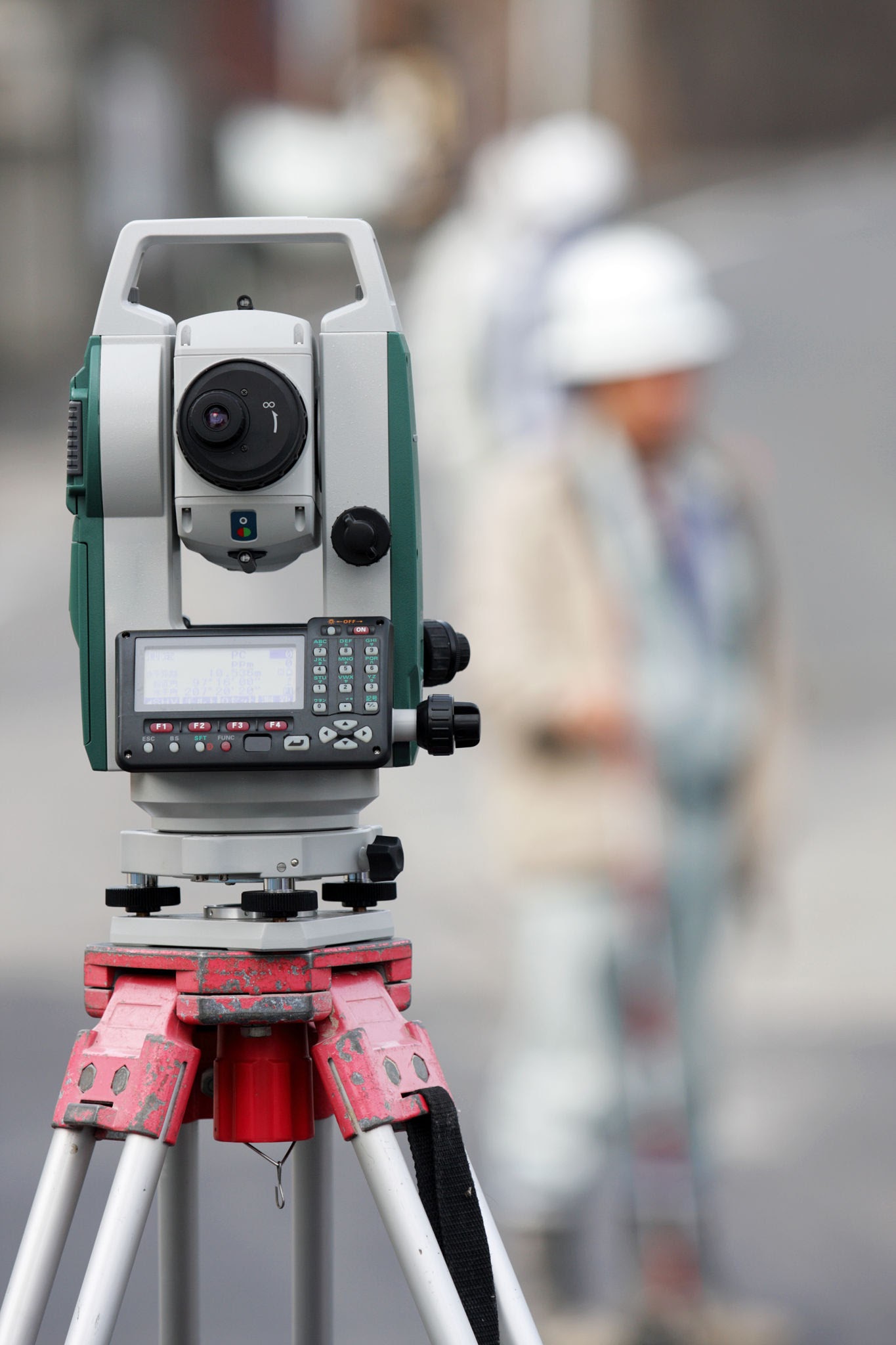
Survey equipment
Kolida KTS-442 Total Station
Angular and electronic distance measurement for setting-out and topographic surveys.
8 units
Survey instruments, soil investigation apparatus and field accessories used by DDSE.
Angular and electronic distance measurement for setting-out and topographic surveys.
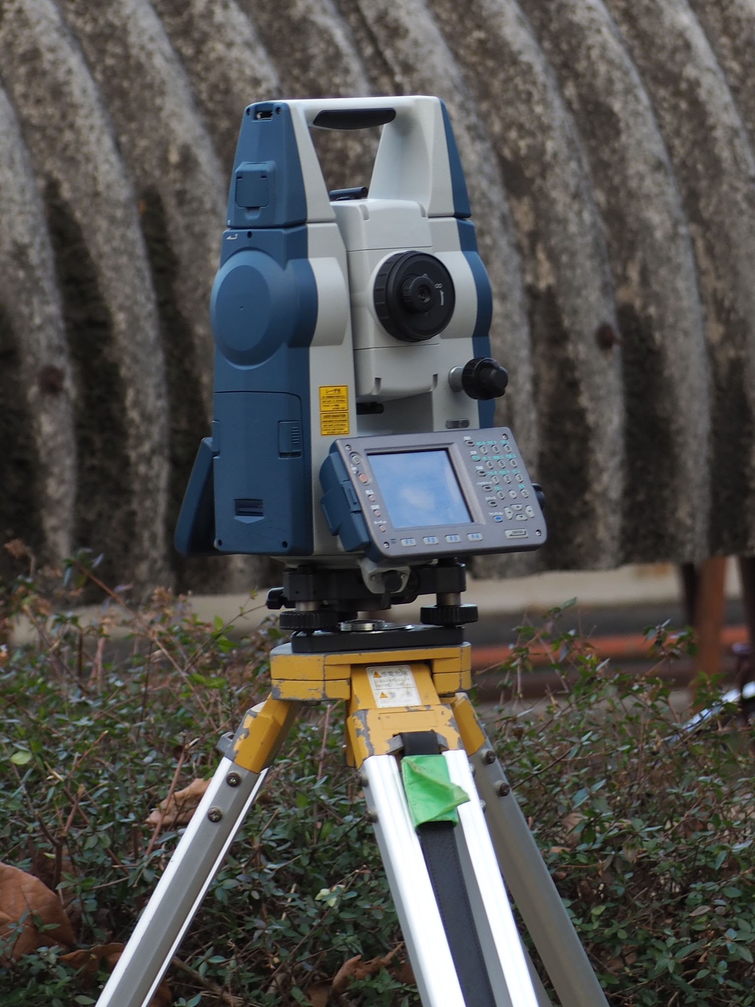
Coordinate measurement, traversing and construction setting-out.
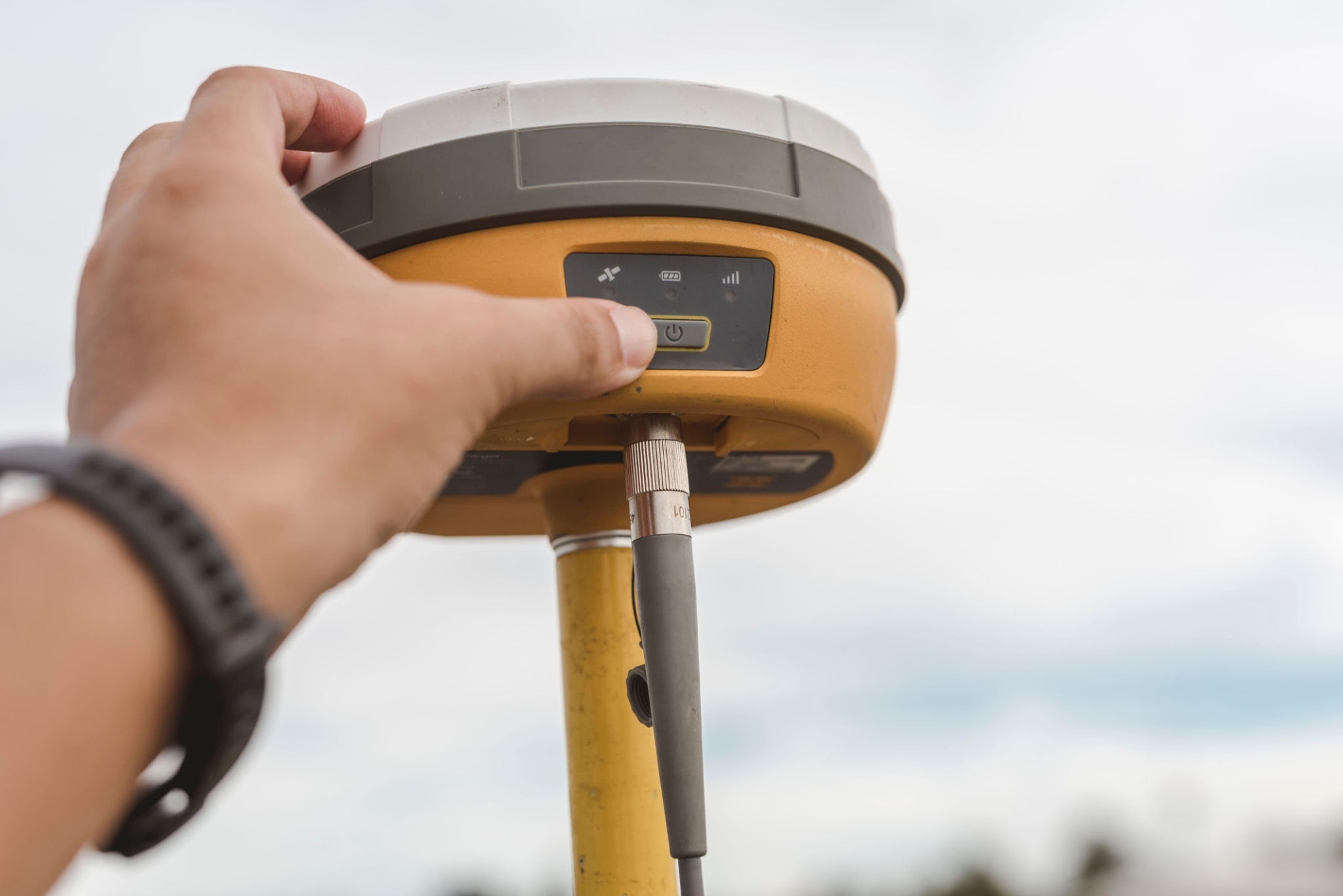
Real-time corrected satellite positioning for survey control.
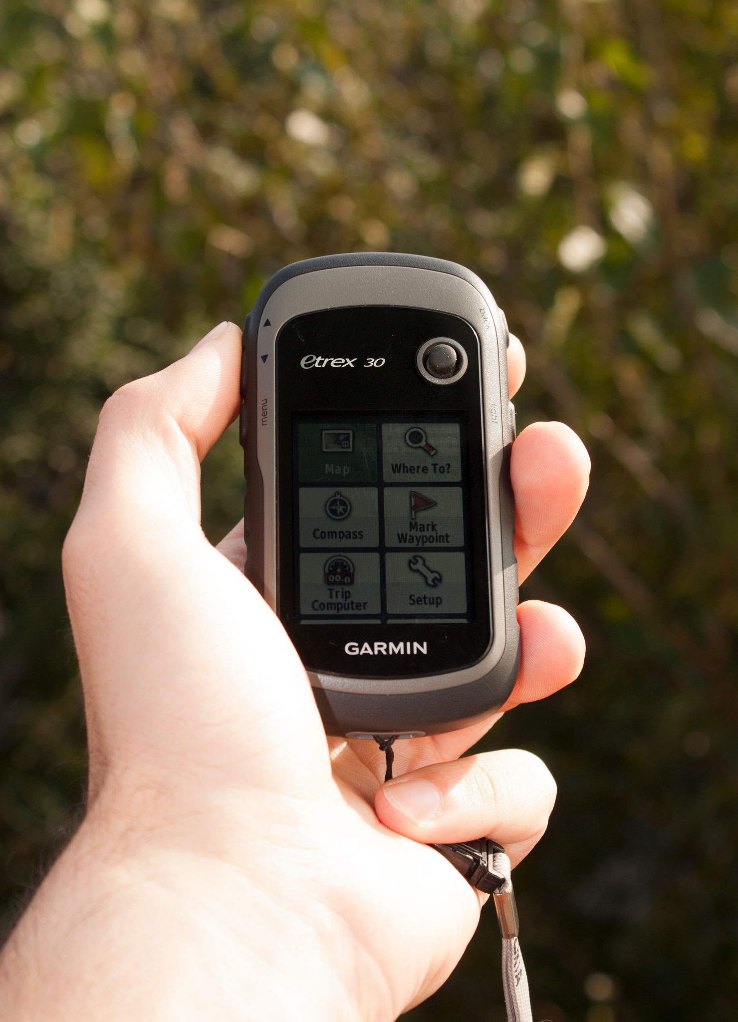
Site reconnaissance, waypoint collection and navigation.
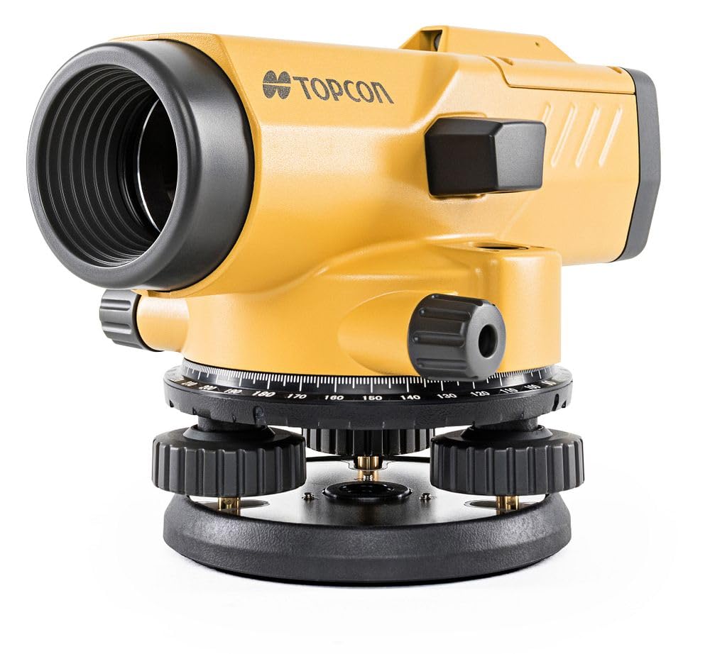
Optical levelling for height transfer and construction control.
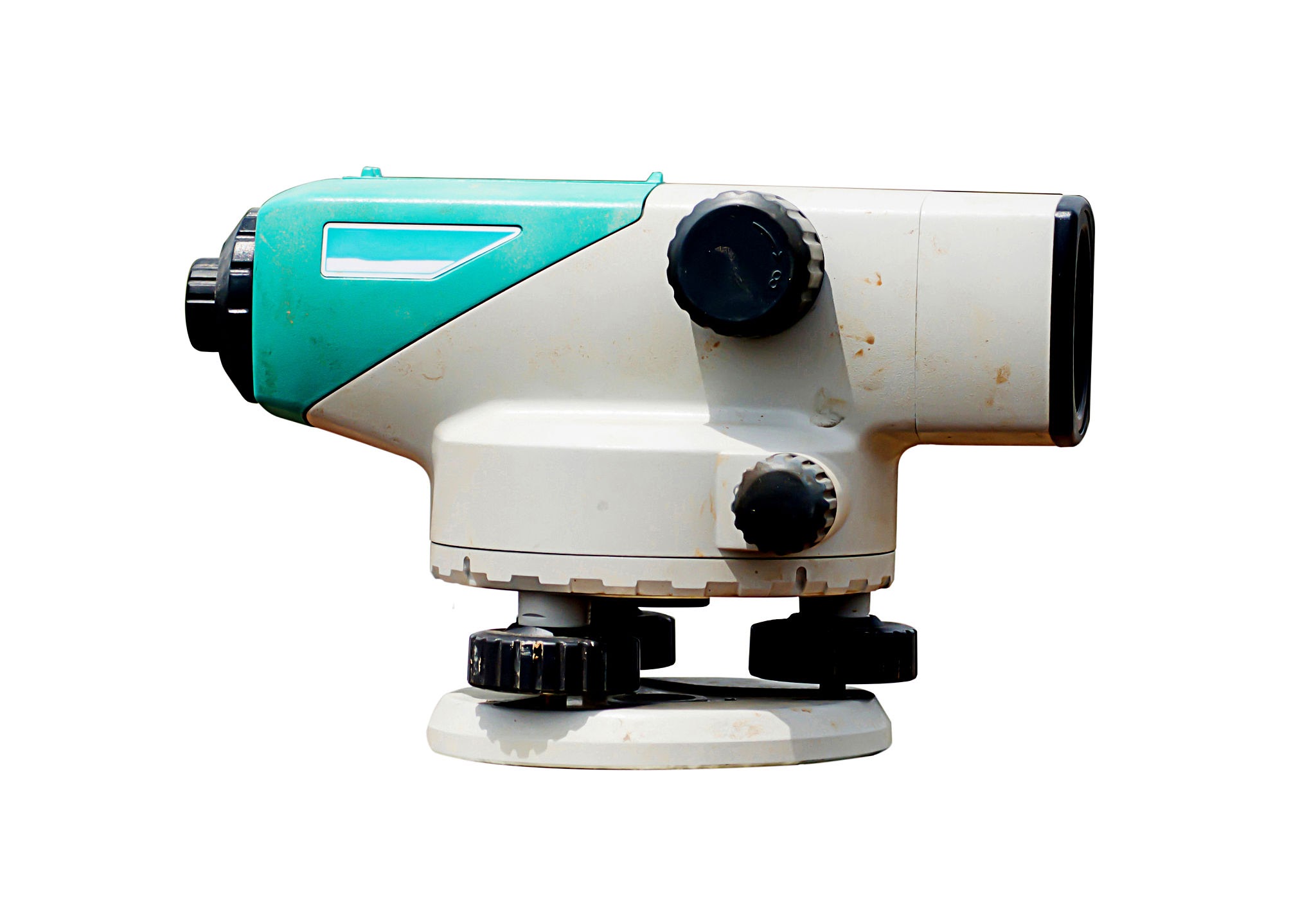
Differential levelling and benchmark transfer.
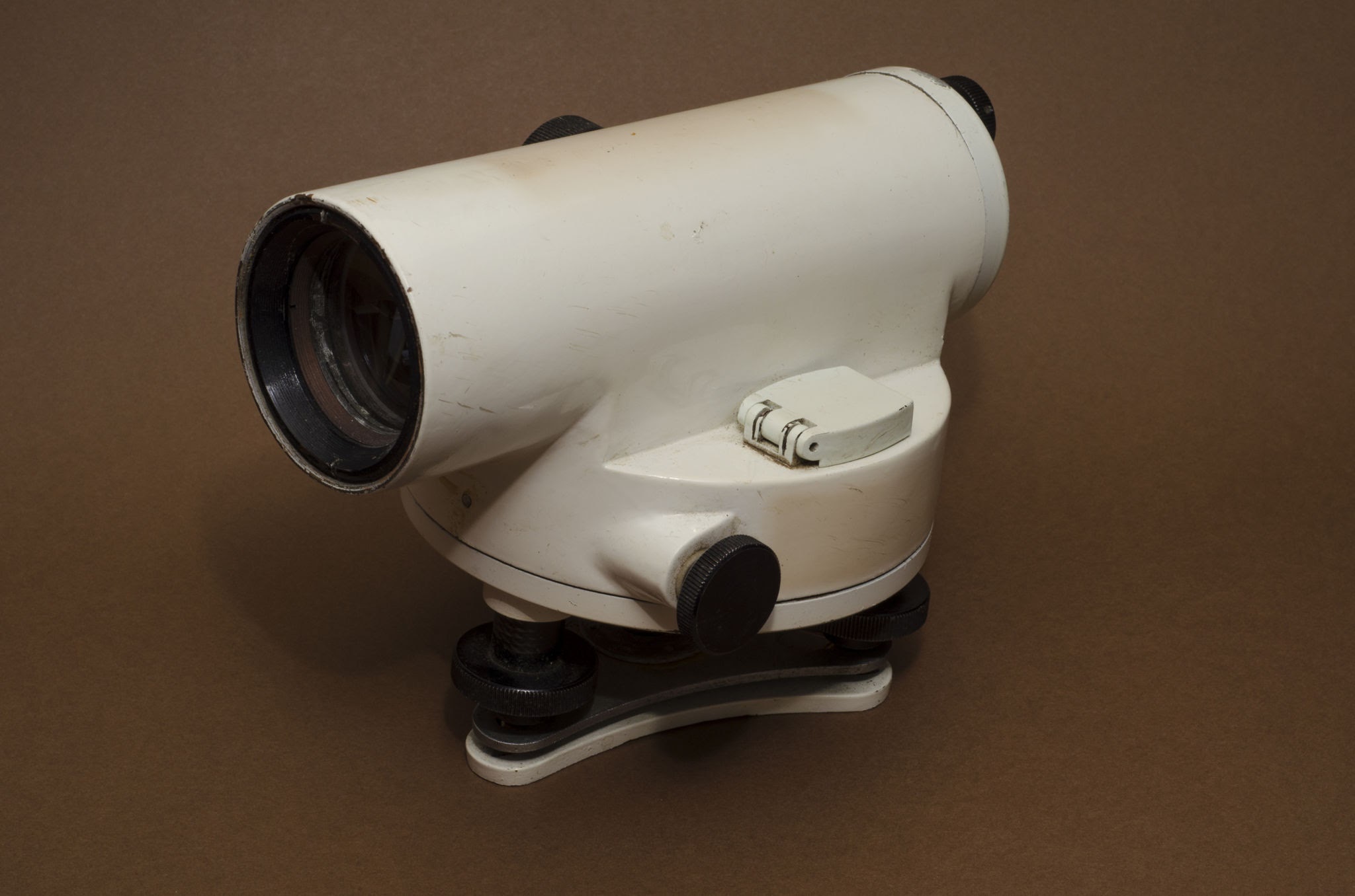
Optical level measurements for civil engineering work.
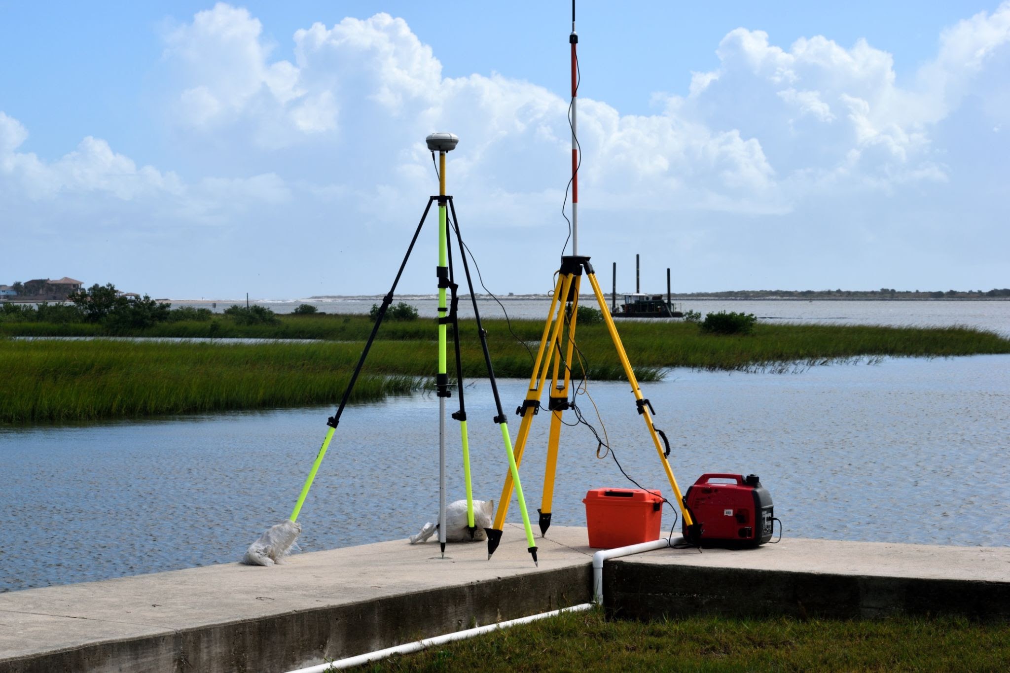
Water-depth profiling for hydrographic and bathymetric surveys.
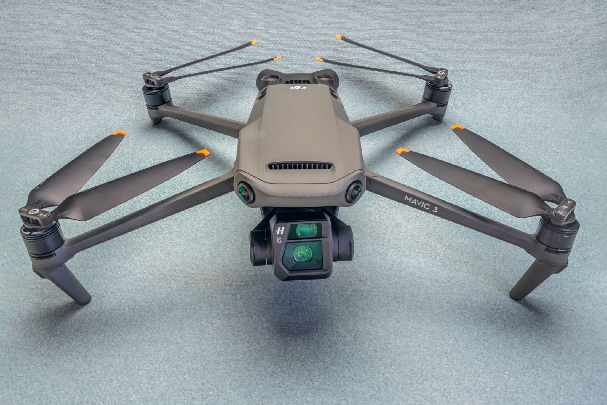
Aerial image collection for mapping and terrain modelling.
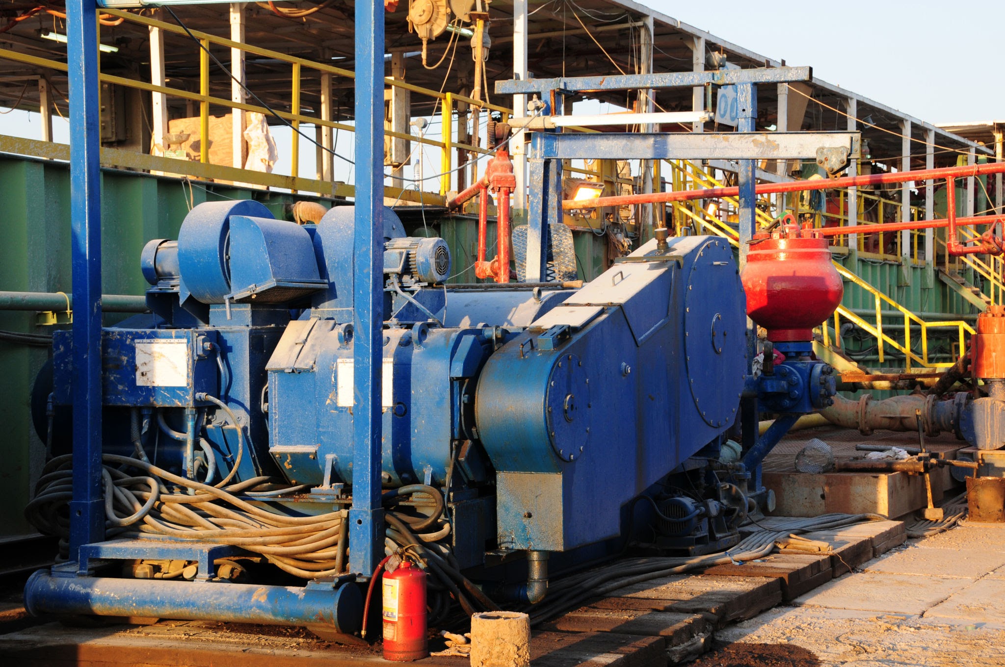
Water circulation for wash boring and borehole operations.
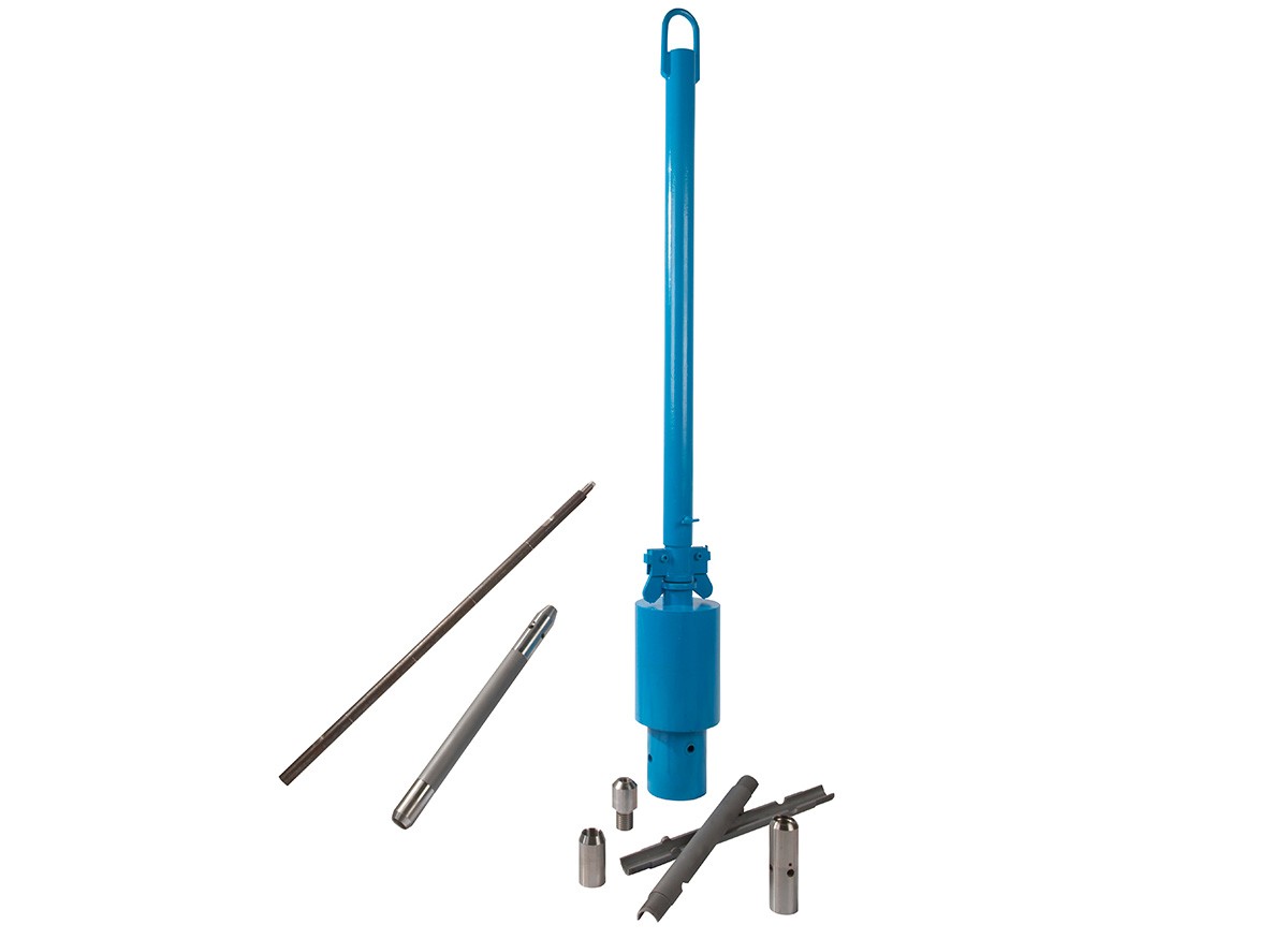
Penetration testing with a split-spoon sampling assembly.
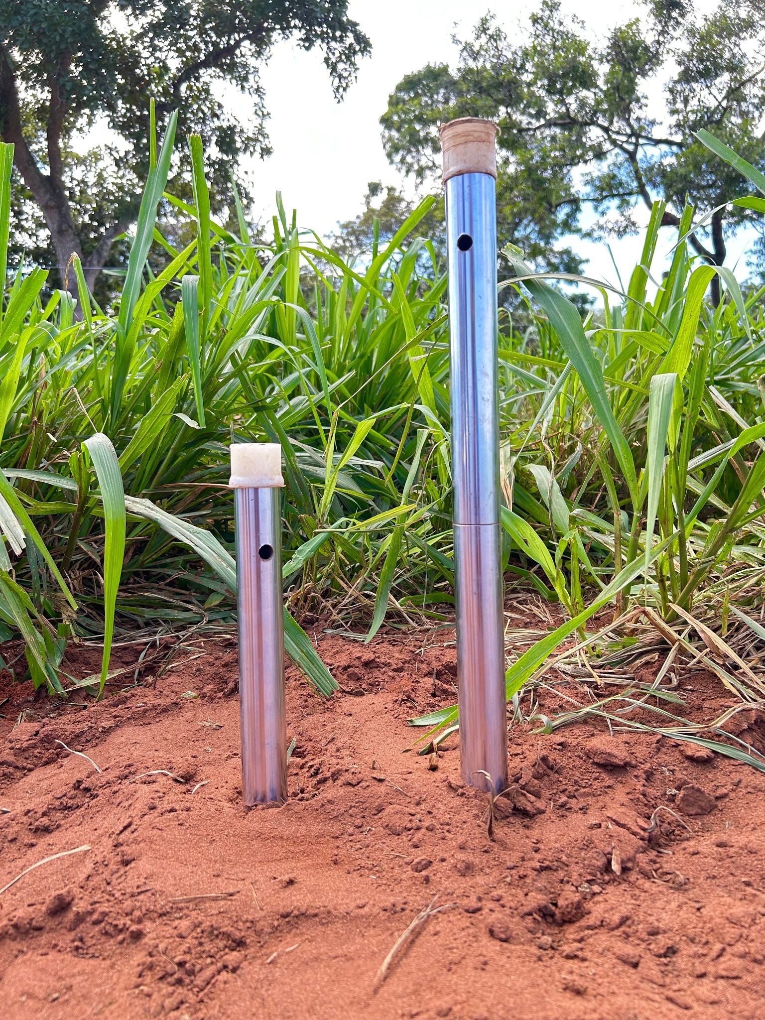
Disturbed soil recovery during standard penetration testing.
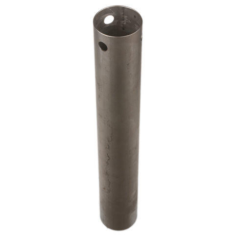
Thin-wall tube for collecting undisturbed soil samples.
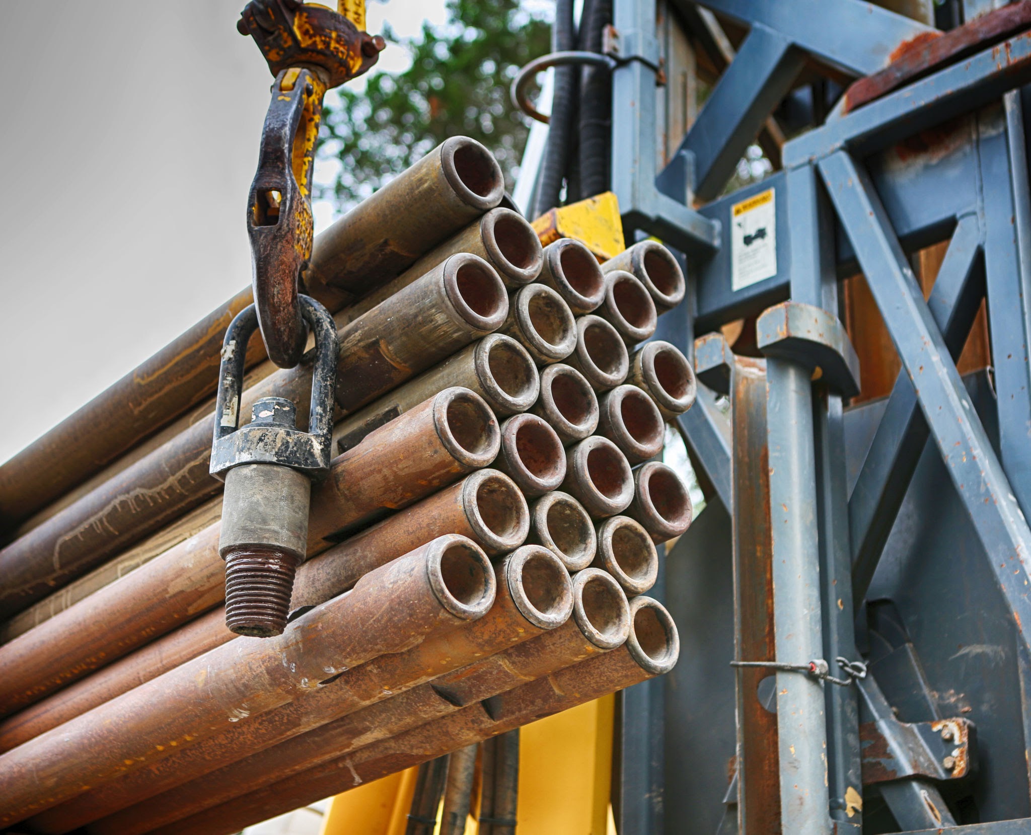
Supports borehole walls during investigation and sampling.
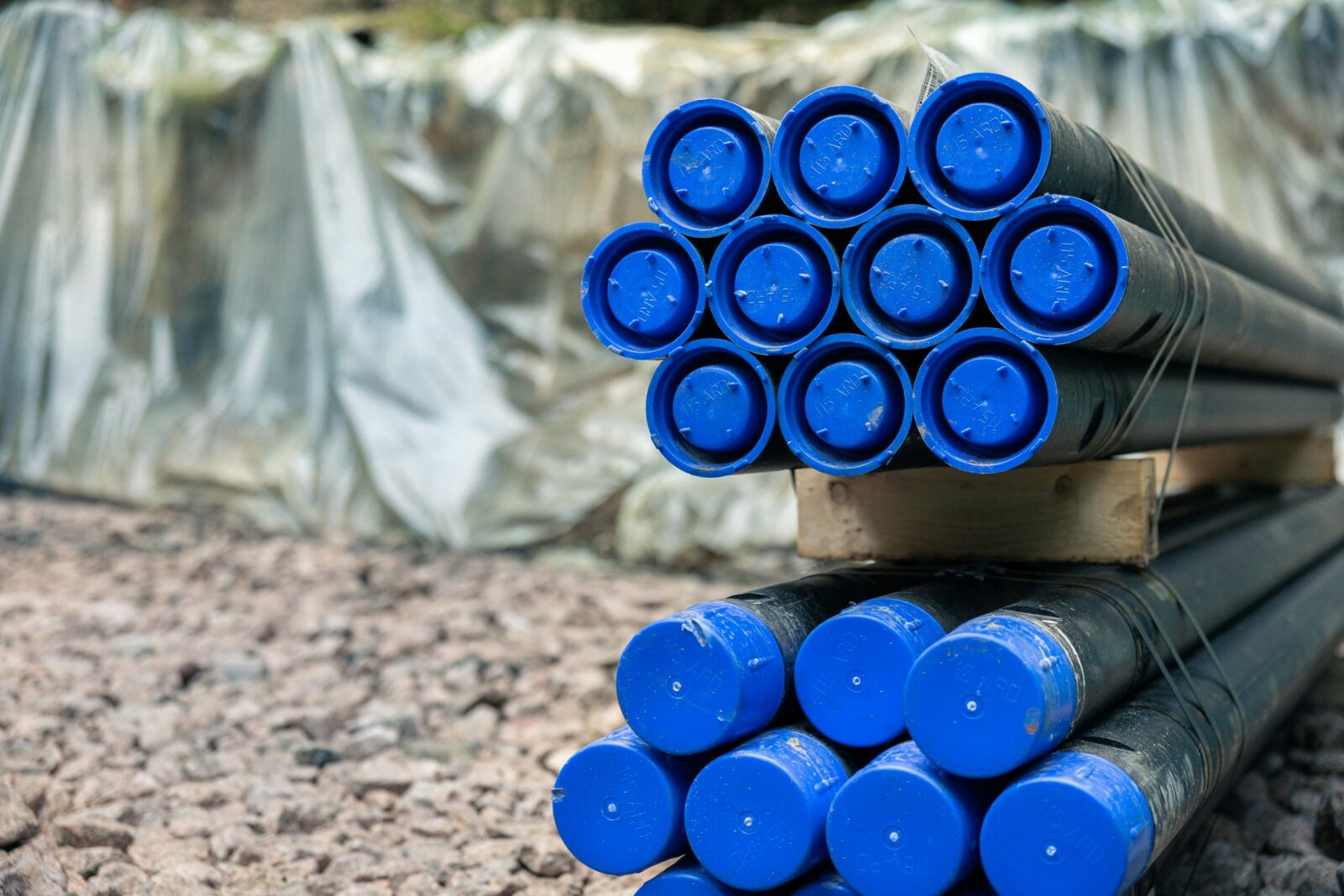
Connects the drilling and sampling assembly at depth.
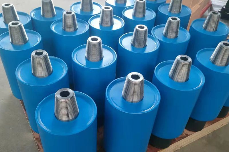
Extraction support for drilling tools and sampling assemblies.
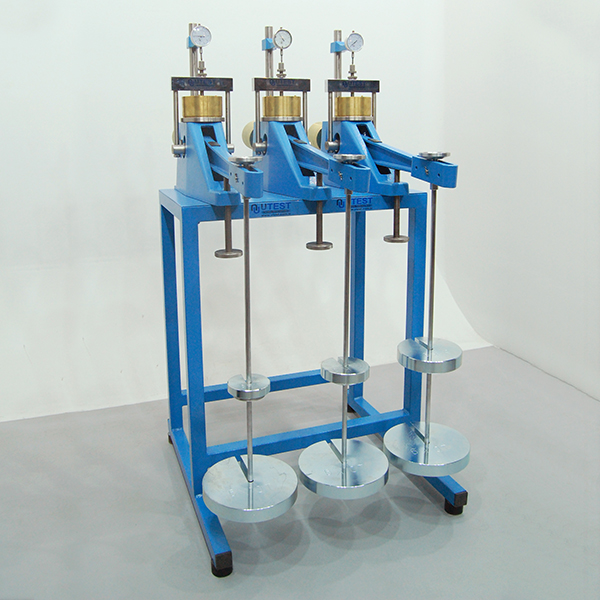
One-dimensional consolidation testing of soil specimens.
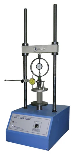
Compressive strength testing of cohesive soil specimens.
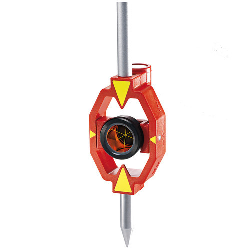
Reflector target for precise setting-out in confined areas.
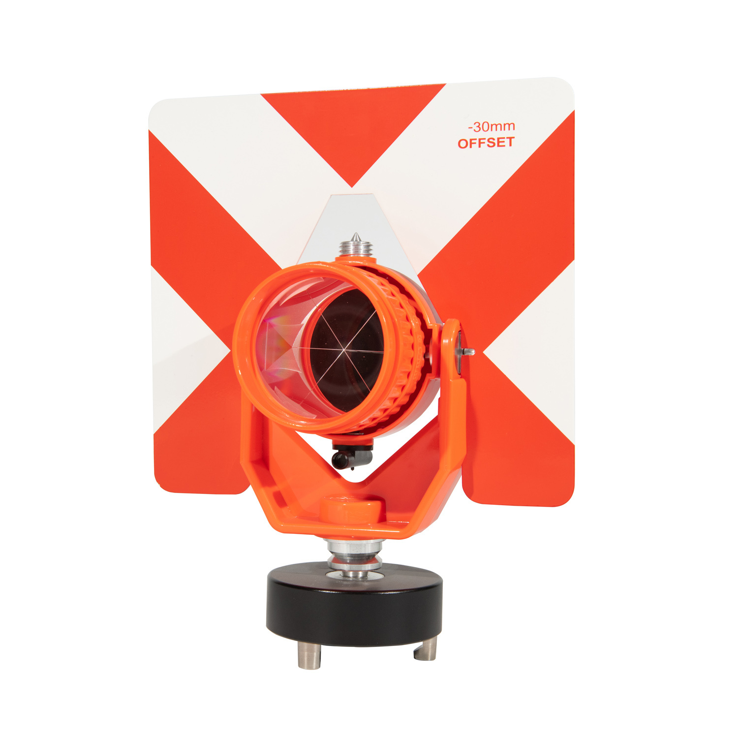
Reflective target for total station distance measurements.
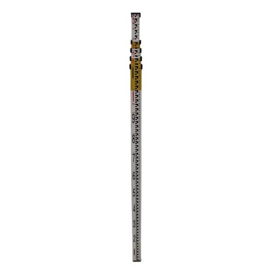
Graduated staff for optical height measurements.
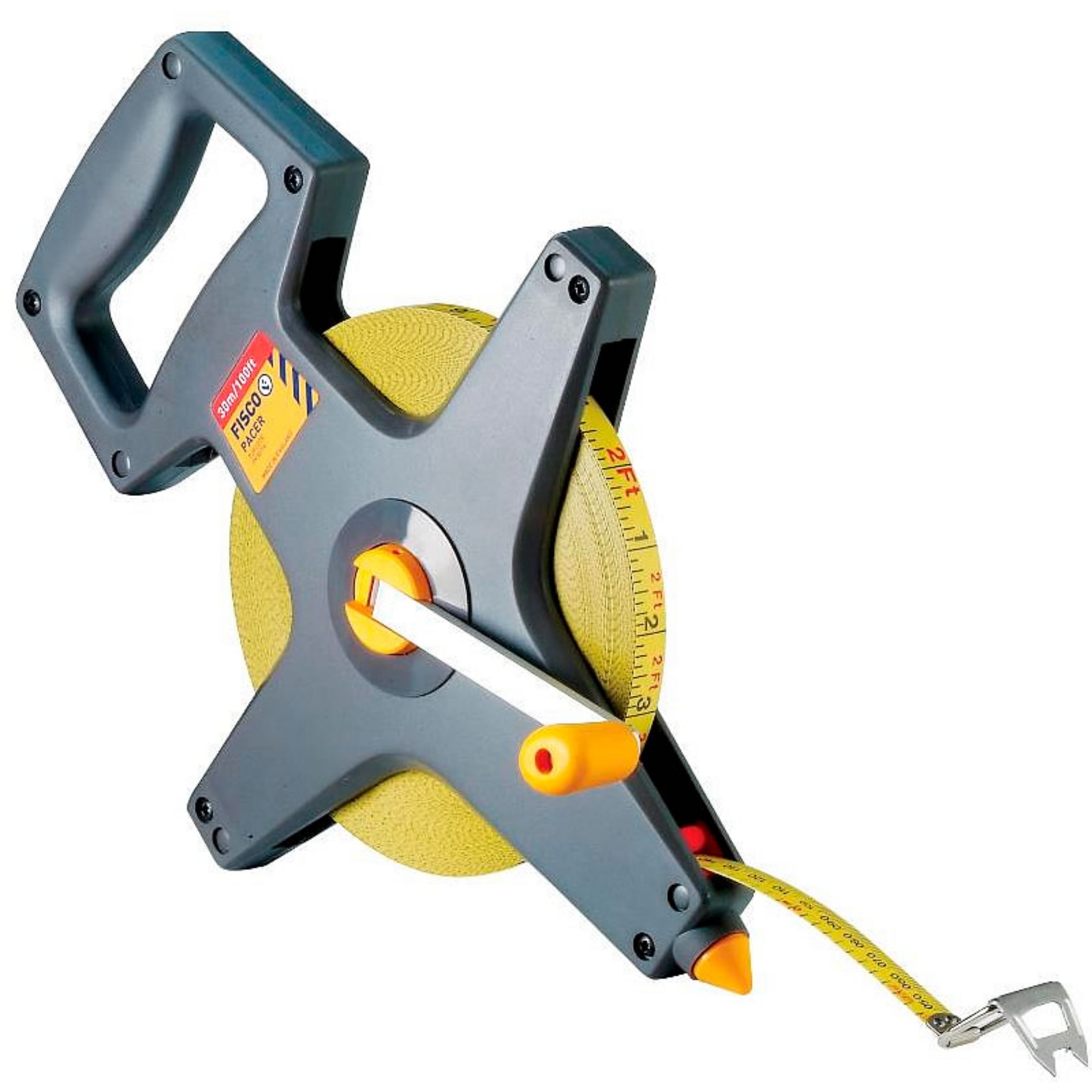
Manual distance measurements and site cross-checks.
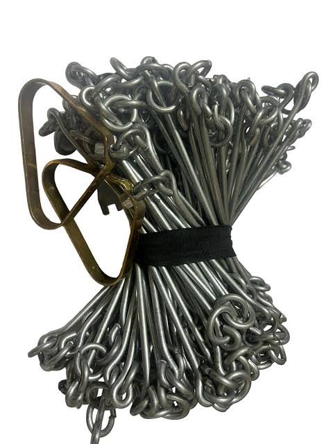
Linear ground measurements and chain surveying.

Field distance measurement and baseline checks.
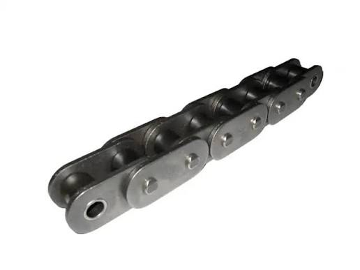
Chain measurement support for field survey teams.
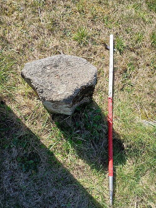
Visible alignment markers for survey lines.
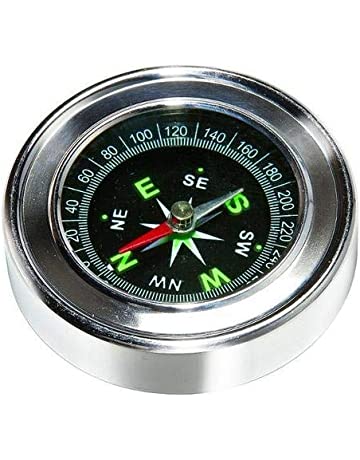
Magnetic orientation and field reconnaissance.
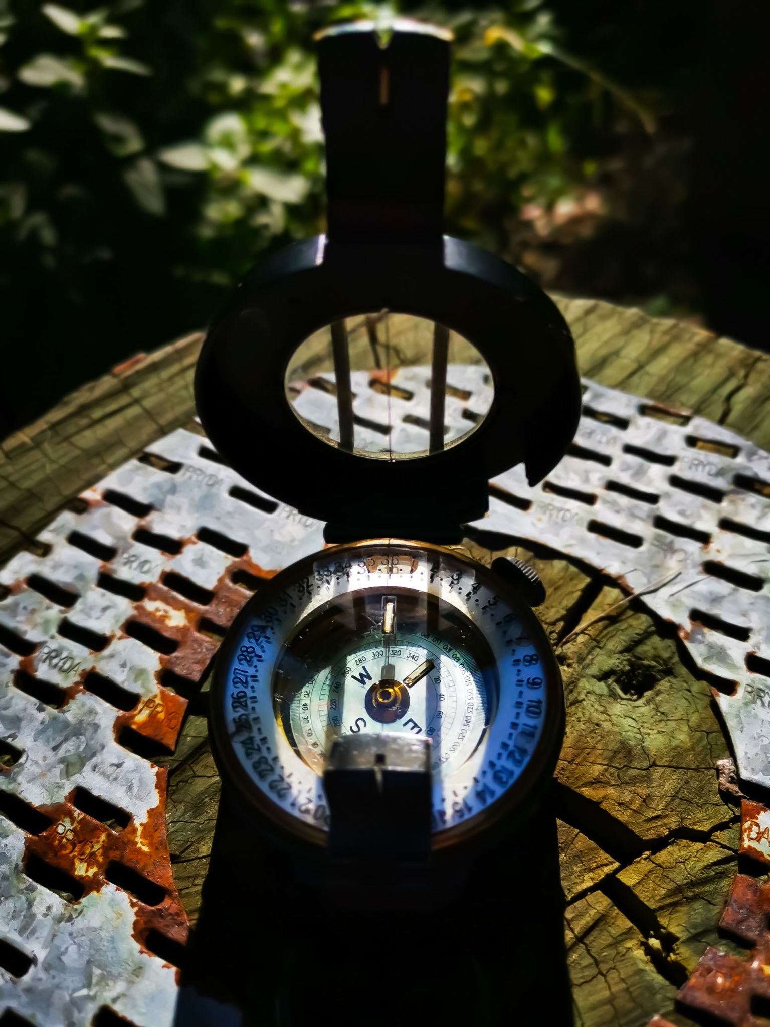
Field bearings with a stable instrument setup.
Equipment allocation depends on project requirements. Contact our office to confirm availability and the instrument specification for your assignment.
Discuss equipment requirements