




DDSE Logo

ডাইমেনশন ডিজিটাল সার্ভে অ্যান্ড ইঞ্জিনিয়ারিং

Survey of Bangladesh Approved

DIMENSION DIGITAL SURVEY & ENGINEERING

Precision Digital Survey Solutions Professional Soil Testing & Civil Engineering Services across Bangladesh since 2015

Scroll

Trusted By Government & Industry

Over 500 completed projects for the departments that regulate surveying and infrastructure in Bangladesh.

0+ Years of Experience
0+ Projects Completed
15 Expert Engineers
9 Survey Specializations
Survey of Bangladesh Approved (Licence No: 6397) BIN & TIN Certified Government Verified

Featured right now

Our Services

Professional survey and engineering solutions trusted by government and private sector clients across Bangladesh

Digital Topographic Survey

Precision terrain mapping using advanced digital instruments for engineering, urban planning, and construction projects.

Learn More →

Road & Bridge Survey

Comprehensive geometric and structural survey for road design, bridge alignment, and infrastructure development.

Learn More →

Canal & Land Survey

Accurate boundary demarcation and canal route surveys for irrigation, land management, and legal documentation.

Learn More →

Soil Test & Investigation

Laboratory and field-based geotechnical soil testing to determine bearing capacity and composition for construction safety.

Learn More →

Trusted by Government,
Built on Precision

Founded in 2015, Dimension Digital Survey & Engineering (DDSE) has established itself as one of the most trusted names in digital land surveying and civil engineering services in Bangladesh.

Based in Barisal, with a presence in Dhaka, DDSE provides precision survey services to major government departments including RHD, LGED, DPHE, MES, and multiple municipal bodies.

  • Government Approved
    Survey of Bangladesh Approved Licence No. 6397
  • Digital Precision
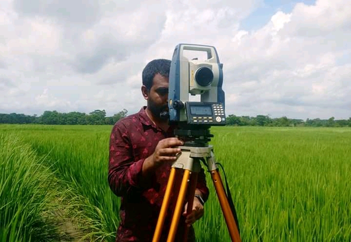
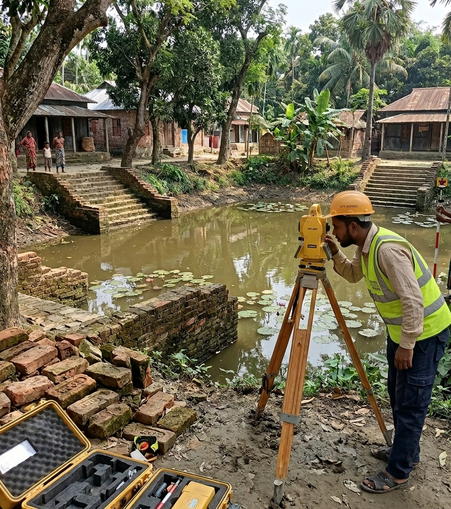
    Advanced Total Station, GPS, and AutoCAD-based survey operations
  • In-House Soil Laboratory
    Complete sub-soil investigation with 11+ laboratory test capabilities
  • Expert Team
    15+ professionals including B.Sc civil engineers and senior surveyors
  • Timely Delivery
    On-schedule completion of all survey and engineering projects

Our Equipment

We utilize modern surveying instruments to ensure millimeter-level precision across all topographical and geotechnical projects.

Total Stations

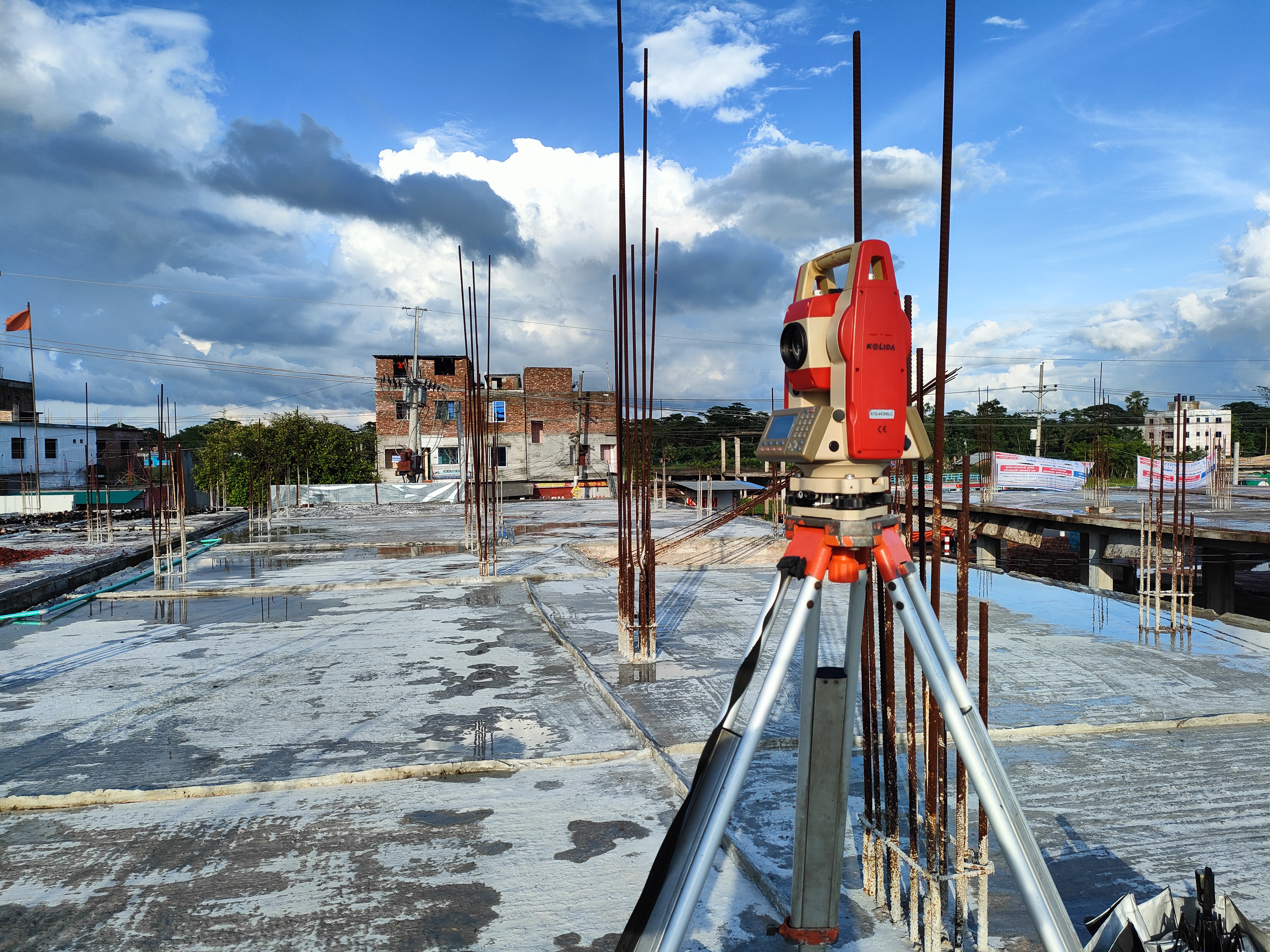
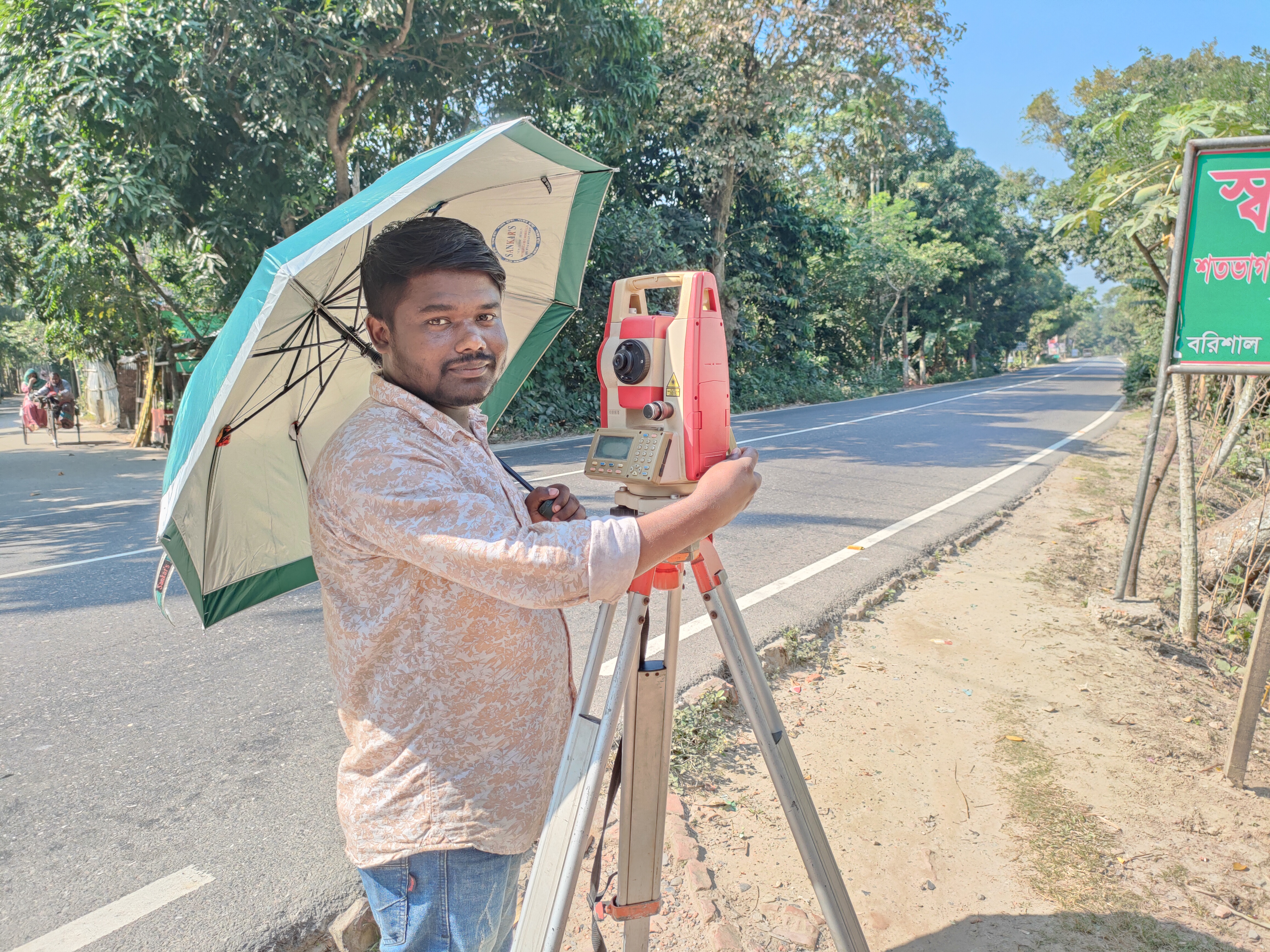
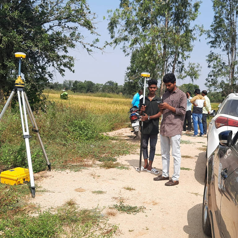
Fleet of 8 Kolida KTS442 R6 L6 and 2 Sokkia robotic total stations for high-accuracy angular and distance measurements.

RTK GPS & Drones

2 RTK GNSS systems for centimeter-level global positioning, paired with 2 DJI aerial mapping drones for rapid topographical acquisition.

Bathymetric & Soil Testing

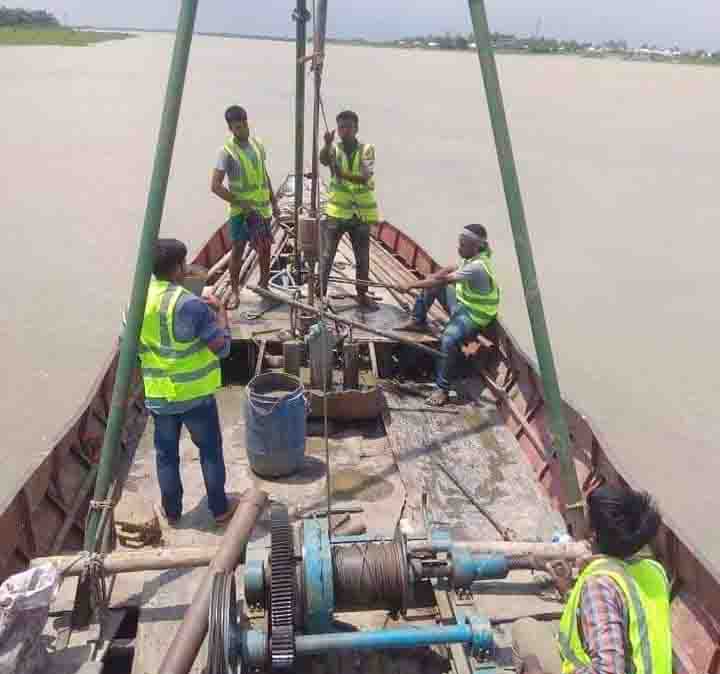
Equipped with 2 Echosounders for hydrographic surveys, alongside complete geotechnical rigs including 300 Shelby tubes for undisturbed soil sampling.

Why Choose Us

Trust, precision, and professionalism in every project

Licensed & Approved

Fully licensed by Survey of Bangladesh with BIN & TIN certification. Government-verified and trusted.

Own Soil Laboratory

In-house soil testing laboratory with capabilities for specific gravity, gradation, shear test, consolidation, and more.

Nationwide Coverage

Serving clients across Bangladesh from Barisal and Dhaka to districts nationwide for government and private projects.

Need Your Survey Report?

Download your completed survey report instantly using your Report ID and registered phone number. No account required.

Our Leadership

Engr. Md. Ibrahim Akond

Founder & Managing Director

B.Sc in Civil Engineering

A dynamic civil engineer with 10+ years of experience in digital land surveying. Founded DDSE in 2015 and led it to become a Survey of Bangladesh Approved practice.

View Profile →

Emma Akter

Chairman

B.Sc in Civil Engineering

Provides strategic direction and governance for DDSE, ensuring the company maintains the highest standards of engineering excellence and professional integrity.